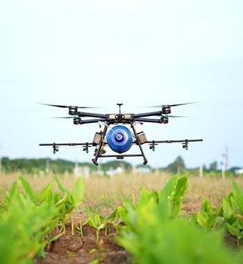
Description
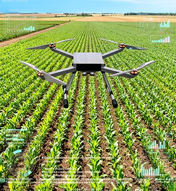
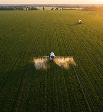
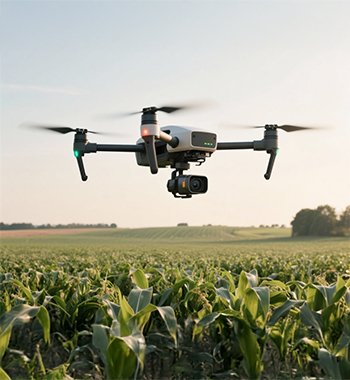
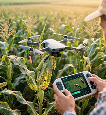
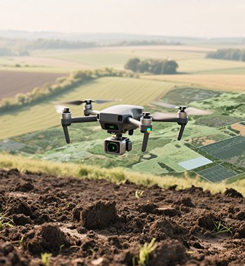
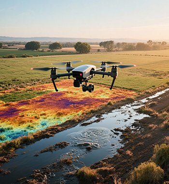
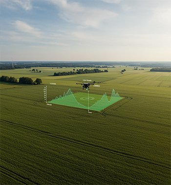
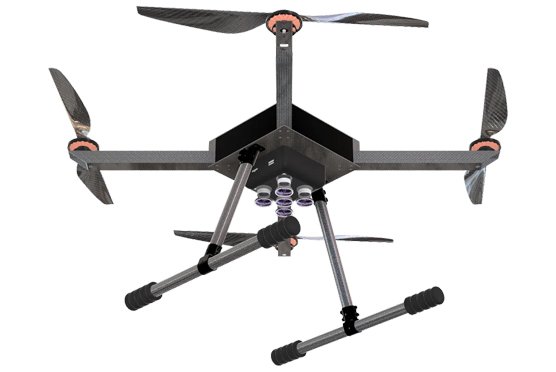
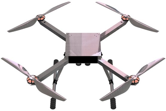
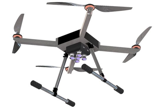
Drishti is engineered for real-world field environments, offering reliable performance, ease of deployment, and seamless integration into existing farm workflows. Whether you’re managing row crops, orchards, vineyards or mixed-use farms, this drone helps you map and monitor large areas with efficiency and precision. By converting aerial spectral data into intuitive visual maps and analytics, Drishti enables smarter decisions on irrigation, fertilization, pest-control and harvest planning—letting you optimise input use, reduce waste and elevate productivity. In essence, Drishti is not just a flying drone; it’s a data-driven farm intelligence tool designed to bring next-level crop management into your hands.