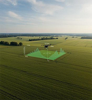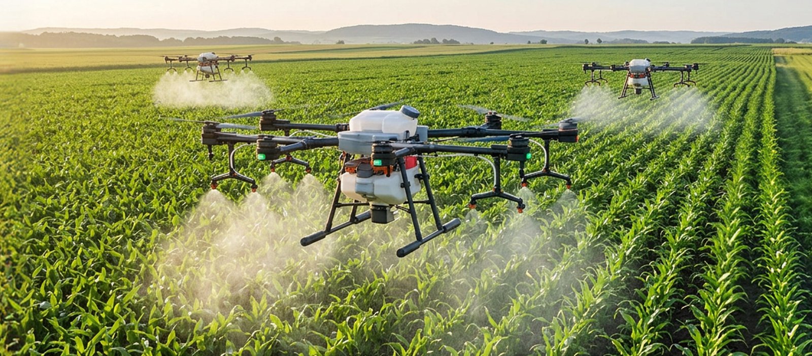
Farm Management integrates technology, data, and operational planning to streamline and optimize agricultural activities across the entire farm lifecycle. By combining drone-based monitoring, field data analysis, and decision-support tools, farmers gain real-time visibility into crop performance, soil health, irrigation efficiency, and resource utilization.
This approach enables proactive planning, timely interventions, and accurate forecasting—helping reduce operational costs, improve yields, and ensure sustainable farming practices. Farm Management empowers farmers and agribusinesses to make informed decisions, enhance productivity, and maintain consistent farm performance season after season.
Yield Estimation and Mapping
Yield Estimation and Mapping
Overview
Field estimation and mapping involves using drones and geospatial analytics to accurately measure, visualize, and analyze farmland characteristics. High-resolution aerial imagery is processed to determine field boundaries, area coverage, crop distribution, plant density, and overall field variability. This enables farmers to understand the exact size, condition, and productivity potential of their land. By converting raw images into actionable maps, the process supports better planning, resource allocation, and yield forecasting, making farm management more precise, efficient, and data-driven.
Process Flow
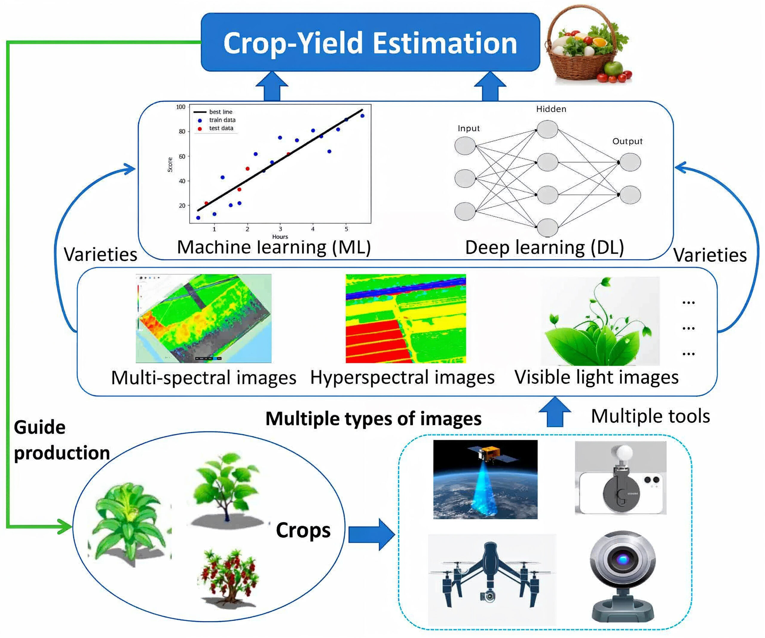
Image Source : Advancements in Utilizing Image-Analysis Technology for Crop-Yield Estimation
The workflow for crop-yield estimation begins with collecting field data using drones and sensing devices. These tools capture multispectral, hyperspectral, and RGB imagery that reveal plant health, nutrient status, canopy growth, and stress conditions. The collected imagery is processed through advanced AI systems. Machine Learning models analyze image features and historical yield patterns to establish baseline predictions, while Deep Learning models automatically learn complex relationships within the data for higher prediction accuracy. Crop variety information is integrated to ensure variety-specific yield estimation. The final output delivers reliable crop-yield predictions that support irrigation planning, fertilizer optimization, harvest scheduling, and overall production strategy.
Reference Image


Image Source:
Advancements in Utilizing Image-Analysis Technology for Crop-Yield Estimation
Yield Mapping Technology – Yield maps in Precision Agriculture (Aspexit)
Relevant Outcomes / Deliverables
- Provides reliable crop yield estimates at field, zone, and plot levels.
- Delivers high-resolution maps showing yield variability across the entire farm.
- Identifies low-yield zones caused by nutrient deficiency, disease, pests, or water stress.
- Optimizes fertilizer, irrigation, and pesticide application using spatial yield patterns.
- Offers time-series insights on crop development throughout the season.
- Predicts yield quantities for efficient labor, machinery, and logistics planning.
- Supports profit forecasting, cost planning, and market decision-making.
- Evaluates crop variety performance under different field conditions.
- Enables multi-year benchmarking to assess productivity improvement or decline.
Achievable Accuracy
| Parameter | Achievable Accuracy / Error Range |
|---|---|
| Overall Yield Prediction Accuracy | 95% |
| Zone-Level Yield Variation Detection | 90% accuracy |
| Field-Level Yield Forecast Error | 10% error margin |
| Stress & Low-Yield Region Identification | 90% accuracy |
| Season-to-Season Accuracy Consistency | ±5% |
Key Advantages
- Provides accurate, science-based yield predictions for informed planning.
- Identifies crop stress caused by pests, disease, or nutrient imbalance.
- Supports precise fertilizer, irrigation, and pesticide application.
- Enables smarter harvesting, storage, and market planning decisions.
- Minimizes wastage through targeted, zone-specific interventions.
- Improves overall yield by enabling early and accurate corrective action.
- Supports variable-rate application and precision field management.
- Provides year-on-year insights to evaluate farm performance.
- Helps forecast yield losses and supports timely mitigation strategies.
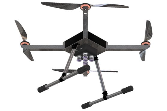
Compatible Drone Platforms
- Drishti
- Drishti Pro
Supported Sensors / Payloads
- Multispectral or RGB camera
- Data analytics and AI models for yield prediction
Industry Segments Benefited
- Agriculture & Farming
- Agri-Tech Companies
- Seed & Crop Input Companies
- Food Processing & FMCG
- Government & Agriculture Departments
- Agri-Lenders
- Research & Academic Institutions
- Agri-Retail & Fertilizer Companies