Precision Spraying (Fertilizers & Pesticides)
Overview
Precision spraying is an advanced agricultural application that enables accurate and efficient application of pesticides, fertilizers, and herbicides across farmlands. Equipped with GPS navigation, automated flight control, and intelligent spraying nozzles, agricultural drones ensure uniform chemical distribution while minimizing wastage and human exposure. These drones can operate effectively over uneven, hilly, or inaccessible terrains, making them ideal for large-scale and precision farming. By integrating sensors and AI-based mapping, drone-based spraying supports sustainable agriculture through targeted treatment, reduced resource usage, and improved crop productivity.
Process Flow
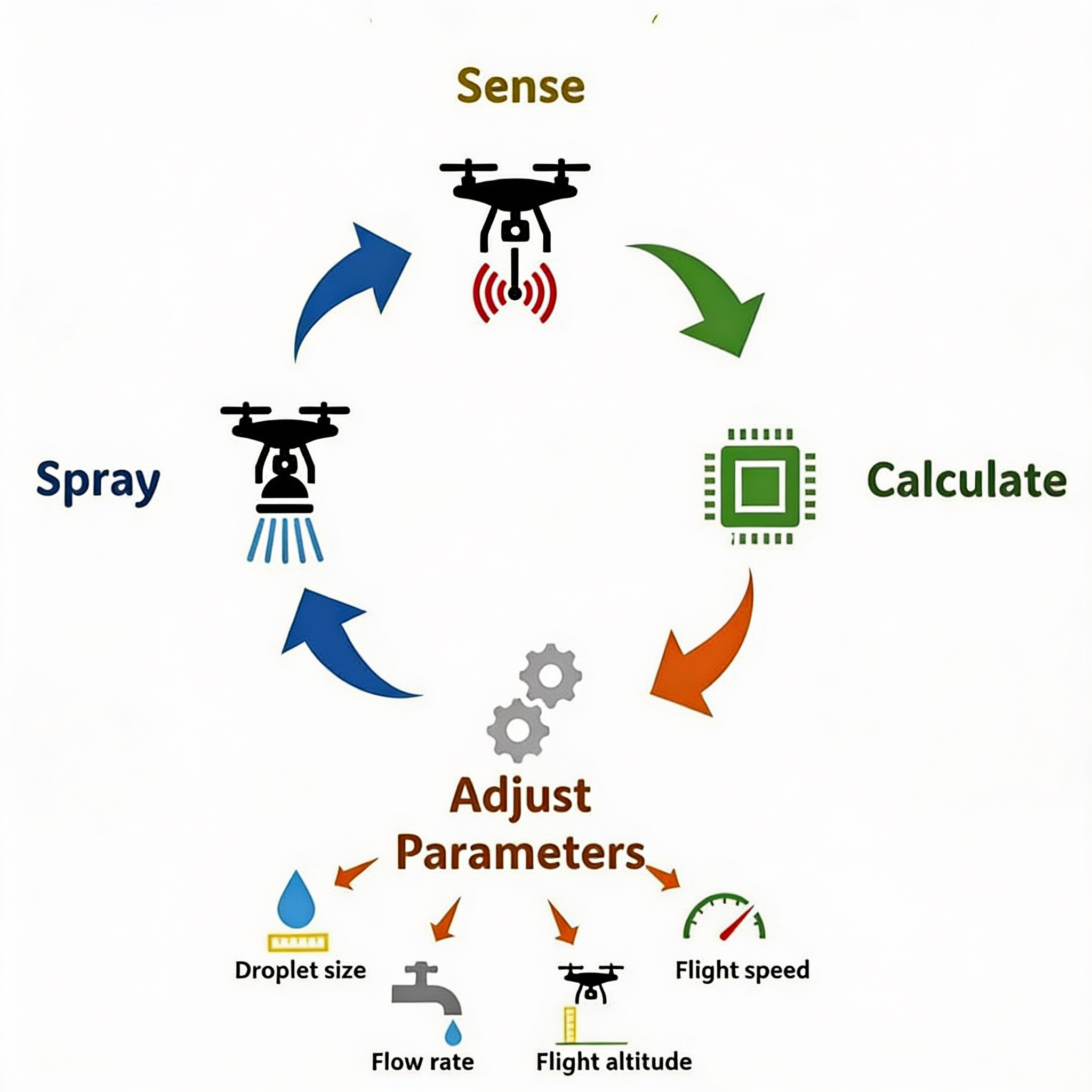
The image represents the process flow of a smart agricultural spraying drone. It shows how the drone uses terrain-following and obstacle detection sensors to map the ground elevation and identify obstacles like trees or poles. When an obstacle is detected, the sprayer automatically stops to ensure safety and prevent wastage. Once the path is clear, the system adjusts parameters such as droplet size, flow rate, altitude, and speed for precise spraying. This process ensures accurate pesticide or fertilizer application, improving efficiency and reducing chemical usage in the field.
Reference Image
Relevant Outcomes / Deliverables
| Deliverable | Usage |
|---|---|
| Uniform Crop Coverage | Consistent and precise application of agrochemicals across the entire field |
| Reduced Chemical Usage | Optimized spraying patterns minimize wastage and overuse of inputs |
| Time & Labor Efficiency | Faster spraying operations with reduced manpower and manual effort |
| Data & Mapping Reports | Flight logs, spray maps, and area coverage data for documentation and analysis |
Achievable Accuracy
| Parameter | Typical Accuracy | Depends On |
|---|---|---|
| Positioning Accuracy | ±5–10% | RTK / GPS setup |
| Droplet Distribution | ±5–10% | Variation across the target area |
| Sensor Accuracy | ±2–3% | Environmental conditions |
Key Advantages
- Ensures accurate and uniform spraying using GPS and intelligent control systems
- Covers large agricultural areas quickly compared to manual methods
- Optimized spray patterns reduce overuse of pesticides and fertilizers
- Minimizes human exposure to harmful agrochemicals
- Operates efficiently in uneven, hilly, or waterlogged terrains
- Lowers labor and operational costs over time
- Supports digital mapping and record-keeping for smart farm management
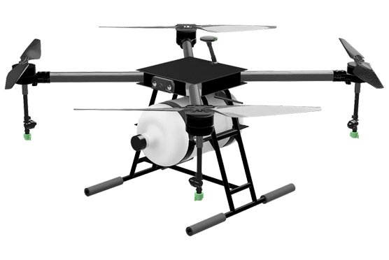
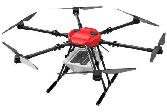
Compatible Drone Platforms
- Varuna
- Indra
Supported Sensors / Payloads
- 10–30 litre chemical payload capacity
- Sprayer tank with atomizing nozzles
- Flow sensor and pump control system
- RTK GPS for precision spraying
- Obstacle avoidance radar
Industry Segments Benefited
- Agriculture Sector
- Agrochemical Industry
- Agri-Tech & Drone Service Providers
- Research and Education Institutions
References
- Development of a precision farming system based on the use of UAVs for spraying pesticides and fertilizers
- Frontiers – Research on a UAV spray system combined with grid atomized droplets
- Study on plant protection UAV spraying technology based on thrips population activity patterns during the cotton flowering period (PMC)