Irrigation Management for Water Stress Zones
Overview
Irrigation management for water stress zones focuses on identifying areas within a field where crops are experiencing low moisture levels and require timely water supply. Using drone-based multispectral imaging, thermal maps, and soil moisture data, farmers can precisely detect dry patches, uneven water distribution, and stressed vegetation. The insights enable targeted irrigation rather than uniform watering, reducing water wastage while improving crop health and yield. This approach supports efficient water resource planning, early stress detection, and optimized irrigation scheduling for sustainable farm operations.
Process Flow
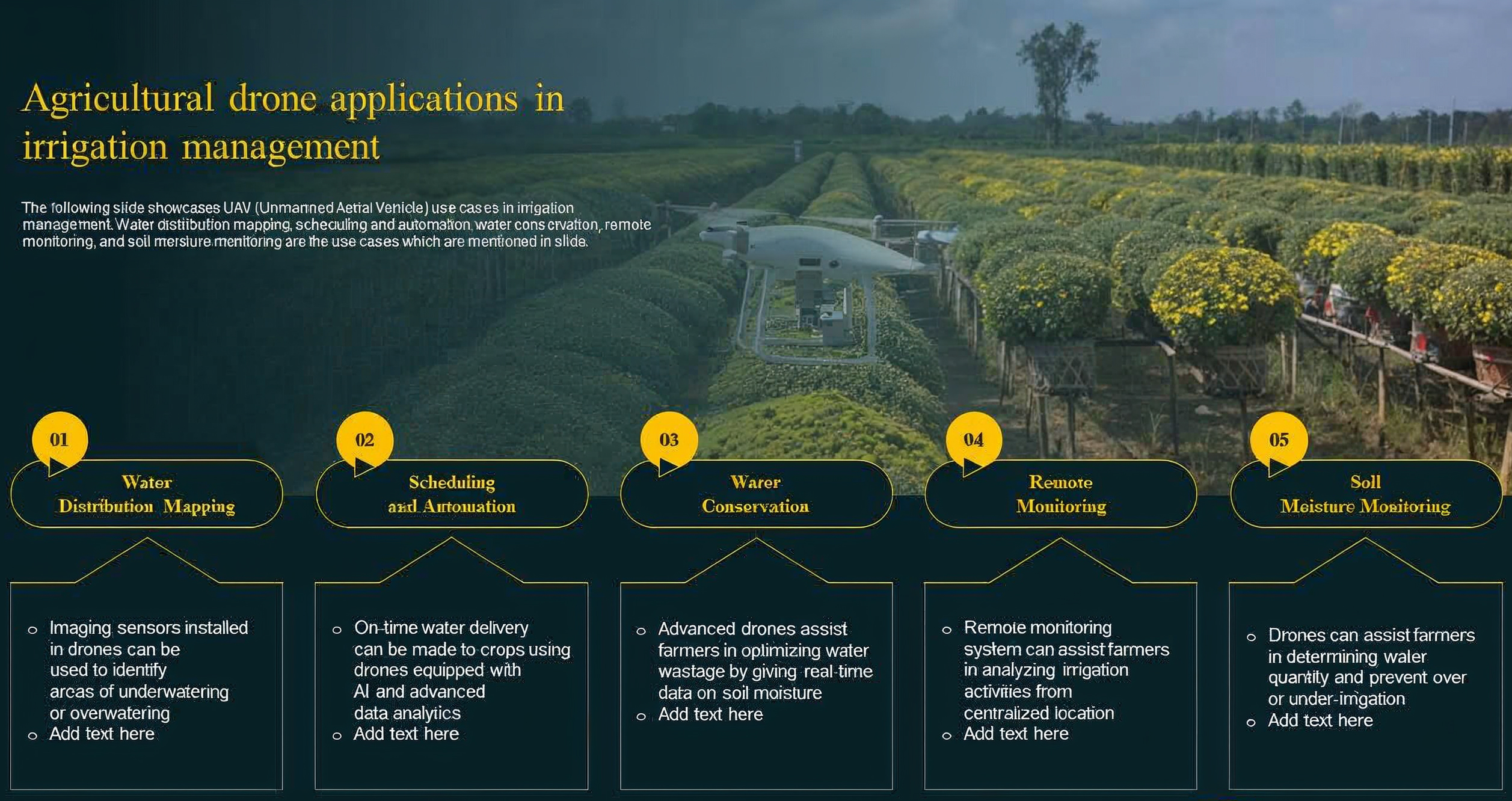
The process flow illustrates how drones streamline irrigation management through a connected, data-driven approach. It begins with water distribution mapping, where imaging sensors capture field-level variations to identify zones that are overwatered or underwatered. This data then supports scheduling and automation, enabling timely and precise irrigation based on AI-driven analysis. Using these insights, drones contribute to water conservation by optimizing water usage and minimizing wastage through real-time soil moisture intelligence. Continuous remote monitoring allows farmers to oversee irrigation activities from a centralized location, reducing manual field intervention. Finally, soil moisture monitoring ensures accurate assessment of moisture levels across the farm, helping prevent irrigation imbalances and improving overall crop health and water efficiency.
Relevant Outcomes / Deliverables
- Identifies zones facing moisture deficiency or excess to enable corrective irrigation actions.
- Ensures water is delivered exactly where needed, reducing wastage and improving irrigation efficiency.
- Uses real-time field insights to automate or refine watering intervals for higher consistency.
- Minimizes unnecessary water usage, lowering operational costs and preserving water resources.
- Supports uniform plant growth by maintaining ideal moisture levels across all field zones.
- Provides continuous aerial updates, reducing manual field checks and improving decision accuracy.
- Builds historical moisture and stress profiles to track improvement, degradation, and irrigation performance trends year over year.
Achievable Accuracy
| Parameter | Achievable Accuracy |
|---|---|
| Water Stress Zone Detection | 95% |
| Soil Moisture Variation Mapping | 90% |
| Water Distribution Pattern Identification | 90% |
| Irrigation Scheduling Precision | ±10–15% variance from ideal timing |
Key Advantages
- Provides precise identification of water-stressed zones for targeted irrigation.
- Reduces water wastage through optimized and data-driven watering decisions.
- Enhances crop health by maintaining consistent moisture levels across the field.
- Minimizes manual field inspections with continuous aerial monitoring.
- Improves irrigation scheduling accuracy using real-time moisture and stress insights.
- Increases overall farm productivity by preventing under- and over-irrigation.
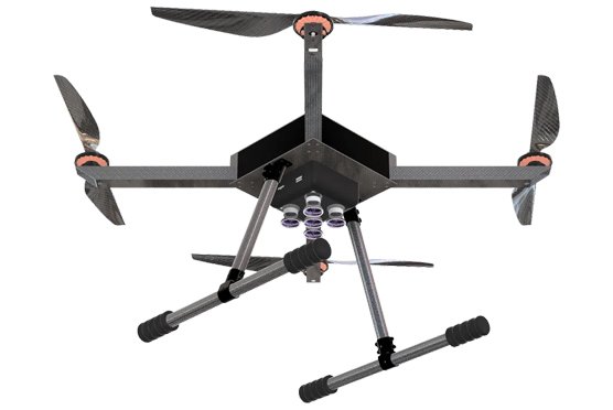
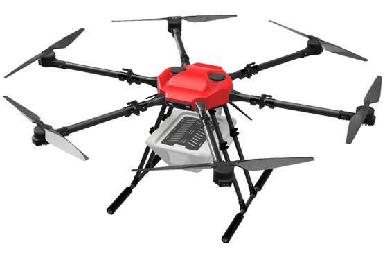
Compatible Drone Platforms
- Dristi
- Dristi Pro
Supported Sensors / Payloads
- Thermal infrared camera
- Multispectral sensor for vegetation stress mapping
- GIS analytics software
Industry Segments Benefited
- Agriculture & Farming
- Horticulture & Plantations
- Agri-Research Institutions
- Irrigation & Water Management Authorities
- Agri-Tech & Smart Farming Companies